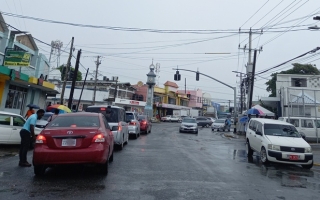
Heavy rains and flooding likely for Old Harbour and Jamaica
Article By: Old Harbour News
-

- Nov 03, 2026 08:52 AM | News
-
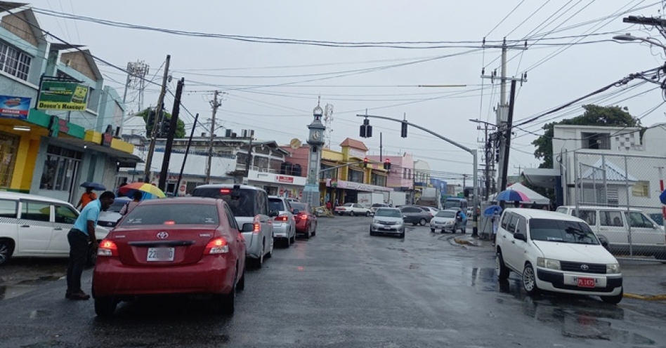
According to the latest meteorological reports, a broad trough currently situated across the central and western Caribbean is the driving force behind the unsettled weather. The system is projected to linger over the region, drifting slowly eastward throughout the remainder of the week, resulting in cloudy skies and consistent periods of showers and thunderstorms across Jamaica for the next few days.
The motoring public is advised to take into consideration the usual flood-proned areas when planning travel routes at this moment.
Flooding Risk Elevated
The primary concern is the risk of flooding. Current forecasts indicate that rain chances for Jamaica have built to 60% to 70%. This brings a significant threat of afternoon showers and thunderstorms that could lead to street or flash flooding in low-lying areas.
For Old Harbour, today’s forecast predicts mostly cloudy conditions with intermittent showers and thunderstorms. While maximum temperatures are expected to remain warm—hovering around 30°C in Kingston and 31°C in Montego Bay—the persistent rain remains the focal point.
3-Day Outlook
The inclement weather is not expected to clear immediately. The 3-day forecast starting tomorrow indicates that Wednesday and Thursday will remain mostly cloudy with intermittent showers and thunderstorms. By Friday, conditions may slightly improve to scattered afternoon showers and thunderstorms, primarily affecting southern parishes.
Infrastructure Boost
As the island braces for potential severe weather, there is a silver lining regarding national preparedness. Jamaica’s new Doppler Weather Radar Station on Cooper’s Hill in St. Andrew has been officially commissioned. The $2.5 million USD facility is expected to significantly improve severe weather tracking and disaster readiness, allowing for more accurate warnings in the future.
Tropical Outlook
Despite the current gloomy weather, the National Hurricane Center reports no tropical cyclone activity is expected in the Atlantic over the next 7 days. A long-range GFS model signal suggesting a hurricane around November 9 is currently considered unlikely by forecasters.
Residents are advised to check local forecasts and live updates via the met service and other credible sources as the week progresses.